The 15-Minute City and the Role of Computer Vision
Imagine living in a city where everything you need is within a 15-minute walk or bike ride from your home. A city where your workplace, grocery store, school, healthcare facility, and recreational spots are all just a short distance away. This is not a utopian dream, but the concept of a ’15 Minute City’, an ambitious urban planning idea created by Dan Luscher, that is gaining traction worldwide.
What is a 15-Minute City?
A 15-Minute City is an urban model that aims to improve the quality of life by reducing the time spent on commuting. In such a city, residents can reach all essential services and amenities, including workplaces, schools, shops, parks, and healthcare facilities, within a 15-minute walk or bike ride. The idea is to create self-sufficient neighborhoods that foster local commerce, reduce carbon emissions, and promote social interaction.
Realizing the 15-Minute City
The realization of this ambitious vision requires a vast rethinking of urban design and infrastructure. It involves creating multi-use neighborhoods, improving public transportation, and promoting active modes of transportation like walking and cycling. However, transforming existing cities into 15-Minute Cities is a complex task that involves multiple challenges, including data collection and analysis, infrastructure development, and safety management. This is where computer vision can play a pivotal role.
How Computer Vision Can Help
Computer vision is a field of artificial intelligence that enables computers to interpret and understand visual data. Its potential applications in urban planning are vast and varied and its benefits are limitless. Below are just some of the benefits of applying computer vision to the realization of a 15-Minute City.
Infrastructure Planning
By analyzing data from various sources, computer vision can help city planners understand how people move within the city. They can then use this information to plan infrastructure more effectively, such as placing bike lanes, sidewalks, and public transit routes in areas where they are most needed.
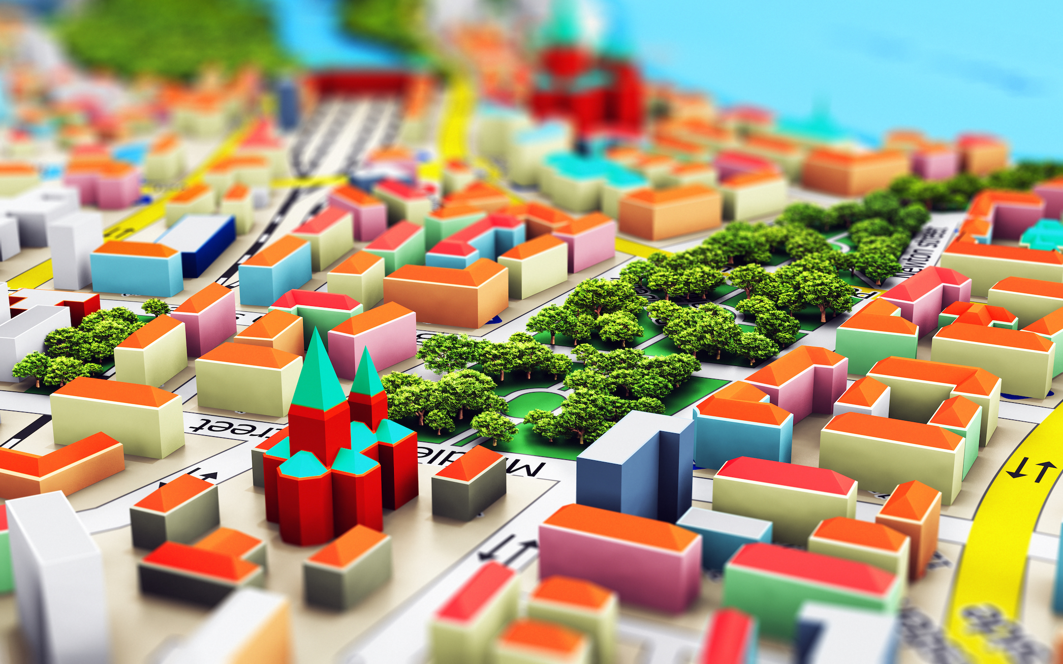
Also, Multi-View 3D Reconstruction can be a game-changer for the development of 15-Minute Cities. This technology can create detailed, three-dimensional models of urban environments using multiple images or sensor data. Such models provide critical insights into the spatial organization of cities, including the distribution of buildings, roads, parks, and other amenities.
Urban planners can then use this information to optimize the layout of the city, ensuring that essential services are within a 15-minute reach for all residents. It can also aid in assessing the walkability of neighborhoods, a key aspect of the 15-Minute City concept. Furthermore, by enabling precise measurements of building heights and volumes, multi-view 3D reconstruction can assist with vertical urban planning, which aims to make efficient use of space in densely populated cities. Thus, multi-view 3D reconstruction can contribute significantly to creating sustainable, inclusive, and efficient urban environments in line with the 15-Minute City model.
Public Space Utilization
Computer vision can monitor how public spaces like parks, squares, and sidewalks are being used. This data can provide valuable insights for urban planners to create more efficient and enjoyable spaces, enhancing the quality of life in a 15-Minute City.
Pedestrian and Cyclist Detection
Recent reports from the Government Highway Safety Association indicate that drivers struck and killed at least 7,508 people walking in 2022. Furthermore, according to the National Safety Council, preventable deaths from bicycle transportation incidents have seen a staggering increase of 44% in the last decade. Computer vision can significantly enhance pedestrian and cyclist safety, a key aspect of this concept. By integrating computer vision technology into traffic systems, cities can detect pedestrians and cyclists in real-time, enabling better traffic management and potentially preventing accidents. This technology can also help understand pedestrian and cyclist traffic patterns, leading to more informed urban planning decisions.
Safety Detection
Safety detection, however, is not limited to just pedestrians and cyclists. Computer vision systems are designed to ensure safety and accessibility to all services and amenities for all residents. For example it can detect potential safety hazards, such as poorly lit areas or obstacles on bike lanes, and alert relevant authorities.
The Path Forward
The concepts of a 15-Minute City are manifold, from reducing social and environmental inequalities to promoting healthier lifestyles through increased physical activity. It creates communities where everything residents need is just a short walk or bike ride away, making cities more human-centric. With the aid of technologies like computer vision, the 15-Minute City model can truly revolutionize urban living.
Do you want to learn more about computer vision and its uses? Contact Lunar Eye for a free demonstration to get started.